IN THIS ARTICLE
Data alone is not a productInfrastructure change: maps age quicklyResilient PNT is about more than navigationThe next connection: Earth observation and the green transitionData alone is not a product
Earth-observation data is more accessible, precise and frequent than ever. Abundance, however, does not automatically solve a user’s problem. For most decision-makers, a raw radar or optical image is not an answer; it is another processing task.
Downstream value emerges when a space-derived signal is combined with ground data, domain models and a specific workflow. A strong product does not deliver pixels. It flags an anomaly, ranks risk or triggers an intervention.
Infrastructure change: maps age quickly
High-resolution 3D maps used by autonomous systems and critical infrastructure can become outdated fast. New construction, earthworks, vegetation, surface changes and structural movement can all affect safe operation.
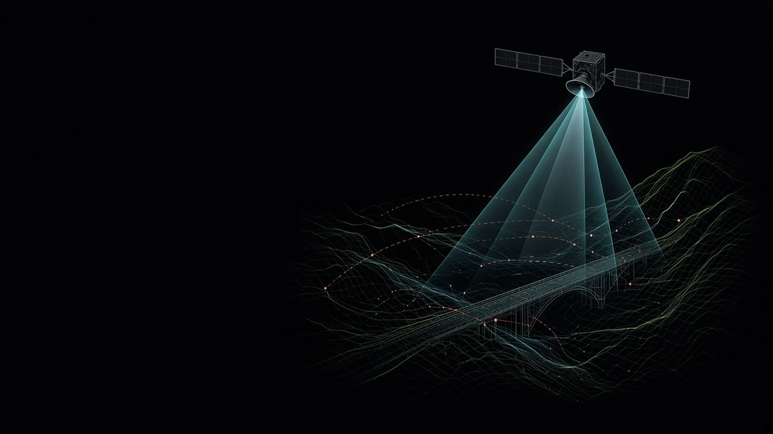
Combining SAR/InSAR with optical data brings complementary strengths. Radar is less dependent on cloud and illumination; interferometry is sensitive to subtle surface movement; optical imagery supports intuitive object identification. The commercial value lies in the change-detection chain: where did a relevant change occur, how confident is the signal and which map layer requires an update?
Resilient PNT is about more than navigation
Positioning, navigation and timing form invisible infrastructure for logistics, drones, network synchronisation, financial systems and critical facilities. RF interference or deceptive signals can therefore affect far more than map accuracy.
A resilient solution evaluates multiple sensors and uncertainty indicators together. The objective is not to force one source to work under every condition, but to recognise a change in confidence and transition to alternatives in a controlled way.
The next connection: Earth observation and the green transition
Biomass, land use and their change can be central to validating carbon balances. Satellite methods offer scale and repeat observation, but credibility still requires ground truth, uncertainty estimates and an auditable methodology.
Space technology becomes a business when it demonstrably improves an Earthbound decision.
This is also Pro Environ’s development logic: define the use case, decision and paying demand first; only then select the satellite, sensor and software components.
This article is for general information; every project requires its own technical and financial assessment.